Maps of the Dawn Land and Settlement c. 1713
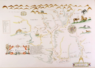
The most famous map from 17th century Portsmouth is the tracing (left) of Piscataway River in New England c. 1665, showing the original "Strawberry Banke" area close to the river, the Great House and settlements on Great Island (now New Castle).
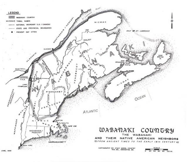
This map (below) shows the rough areas corresponding to the First Nations, coinciding with the major rivers of Maine. Although the intermarriage of families and the seasonal nature of the Wabanaki culture made the boundaries somewhat flexible, each group recognized each other's dominion over the lands.
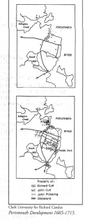
Architectural historian and chairman emeritus of the American Studies Department at Boston University, Richard Candee, included these maps (right) of Portsmouth,comparing development in 1665 to 1715 in his Building Portsmouth: The Neighborhoods & Architecture of New Hapmshire's Oldest City.
Emerson W. Baker, contributing editor of American Begininngs: Exploration, Culture and Cartography in the Land of Norumbega, a beautiful volume, illustrated with 100 maps from the Osher Map Library at the University of Southern Maine makes the following recommendations:
"The single best resource for early maps of New England is the Osher Map Library at the University of Southern Maine: http://usm.maine.edu/maps/
You can search for, and see specific maps, and they also have some great exhibits on line, like one on the Cartographic Creation of New England: http://usm.maine.edu/maps/exhibition/2/home/the-cartographic-creation-of-new-england(though most of that is 17th century, not 18th.
One good map I found there for roughly the time of the treaty is Daniel Neal’s 1720 Map of New England: http://usm.maine.edu/maps/map/image-1-map-a-new-map-fo-new-england It is a beautiful, hand tinted version of what is usually a black and white map.
Also, here is a nice 1714 map of the region by “C Brown” http://usm.maine.edu/maps/map/image-1-map-a-new-mapp-ofnew-englandandannapoliswith-the-countrys-adjacentsold-bycbrowneat-the